

From a Historical Topographic Map to a 3D Terrain Model: Digitizing Contour Lines with GX-TXT and Python
Written by Giux |
Published on Nov 5, 2026 |
No comments
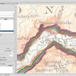
How can a historical topographic map be transformed into a 3D terrain model? Using a 1909 USGS map of Yosemite, we digitize contour lines with GX-TXT Curve Digitalizer and reconstruct the terrain through Python scripts and the framework’s public numerical APIs. The experiment includes interpolation, contour validation, quality assessment and interactive 3D visualization.